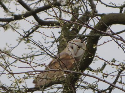
Therfield Heath continues to be loved and enjoyed by both residents and visitors alike, as it has been for generations. Therfield Heath forms an important open heathland. As well as providing open space for the town it is a rare chalk grassland habitat renowned nationally for its flora and fauna. Therfield Heath is also recognised for its historic and archaeological importance. The round barrow cemetery is the largest known example of its type in Hertfordshire and provides important information on the beliefs and social organisation of early prehistoric communities.
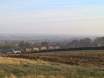
The proposed development lies between Heath Farm and the rear of houses of Echo Hill, Layston Park and Royse Grove, and to the south west of Therfield Heath. Access to the site is proposed off of Echo Hill by demolishing an existing property (no. 24).
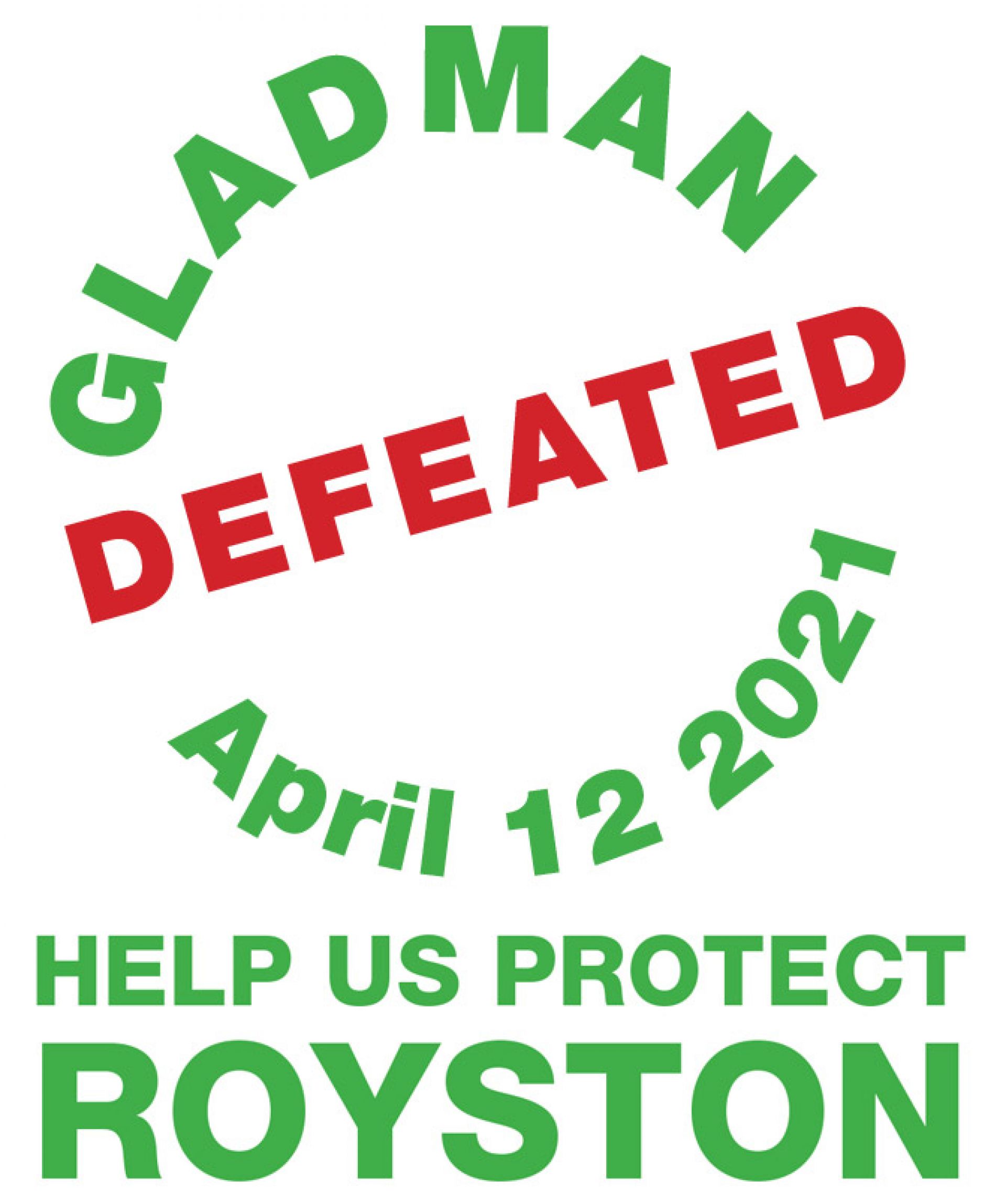
Local residents formed this campaign group 2 hears ago and successfully defeated a proposal for this development with access via Briary Lane, and many of the arguments applicable then apply equally to this proposal; and in particular this proposal does not fit with North Herts District Council (NHDC) Proposed Submission Local Plan 2011-2031.
We believe that the local infrastructure is incapable of supporting development in this particular area, especially the access roads through the centre of town, which is a conservation area.
‘Royston says No to Gladman’ do not oppose housing development in the town, and indeed sites have already been identified for 1000 new homes in the NHDC Proposed Submission Local Plan. We understand the need for new housing, but it must be sensitive and sustainable. The proposed Gladman development does not fall into this category.
We would like to offer our thanks to the team at Bewdley says No to Gladman who gave us permission to re-use some of the their site.